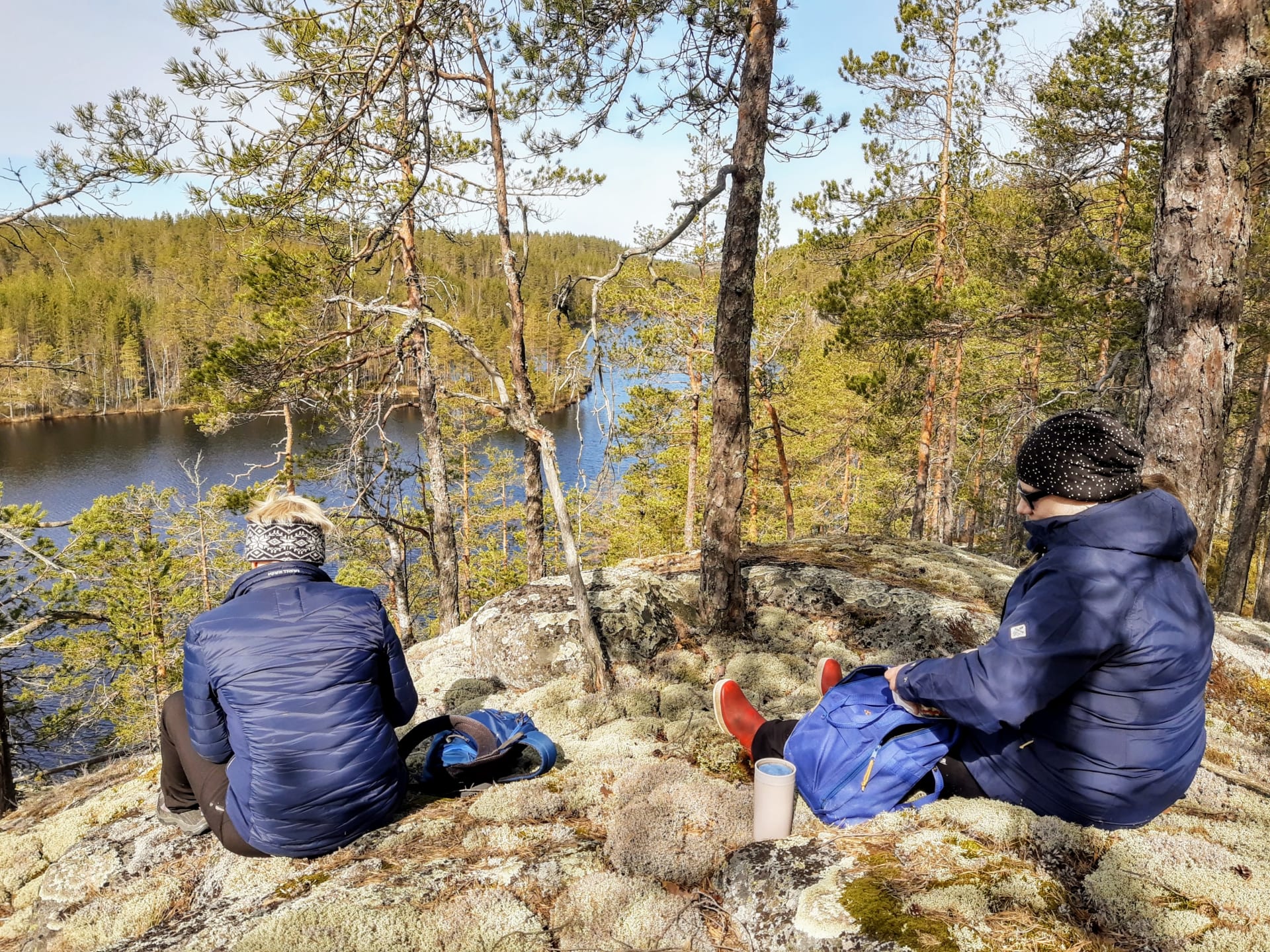
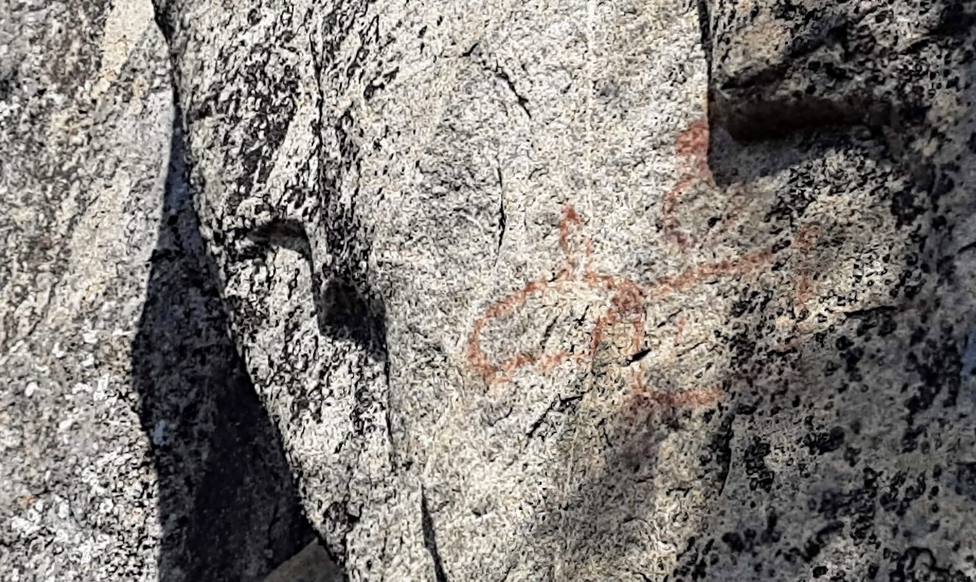
Sarkaslampi is one of the Juva Saimaa Geopark geosites. The trail, which introduces the rocky lake landscape, features three relics: a prehistoric quartz quarry and two rock paintings. The route is marked in yellow markers and now extends as a circular route around the northern end of Sarkaslampi. The route is demanding and not suitable for children. A reasonable level of fitness will help you to progress along the route. Please bring snacks, good footwear and enough time.
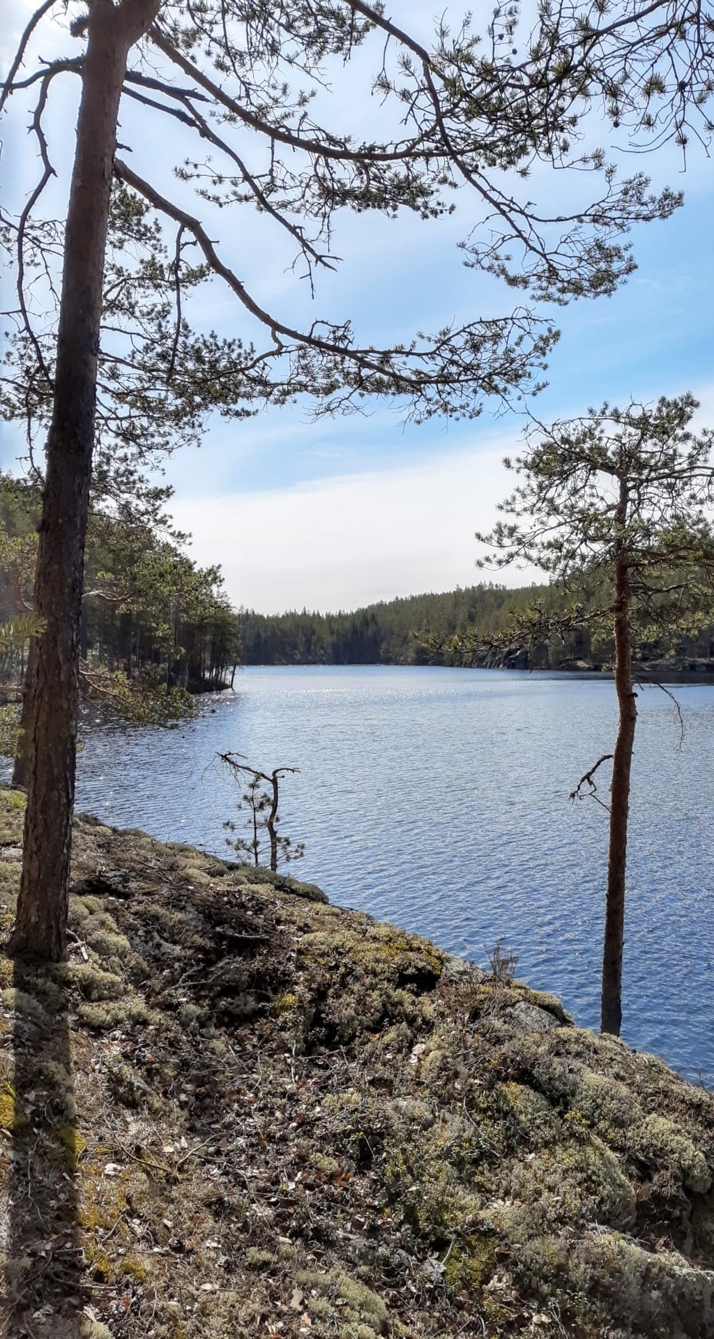
The route of the geo-trail, which used to be a plug route, has been extended around the northern end of the Sarkaslammi. The newest section of the route, which is now about 6 km long, includes floodplain forest, mature spruce bogs and beautiful rock and lake scenery.
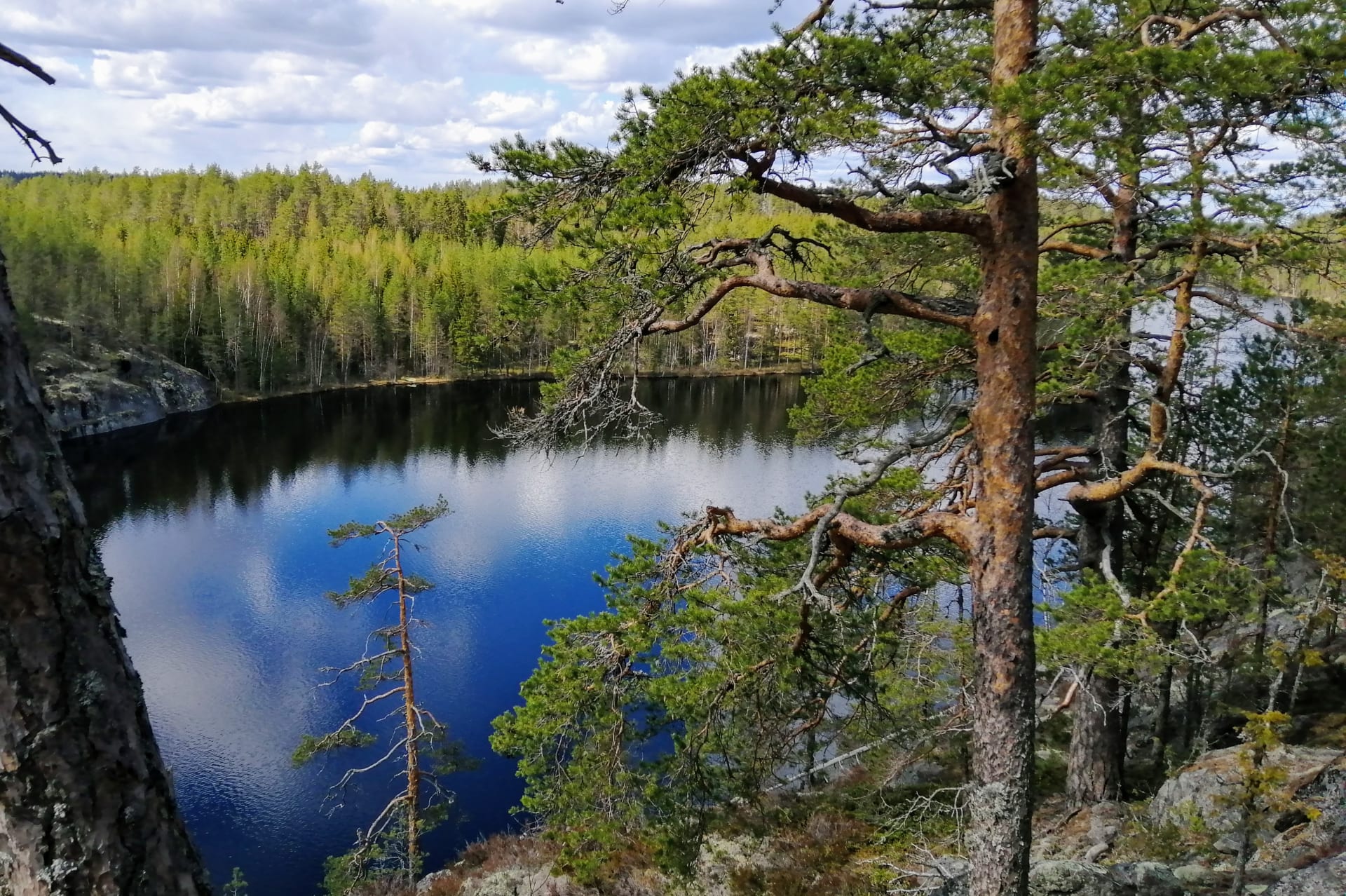
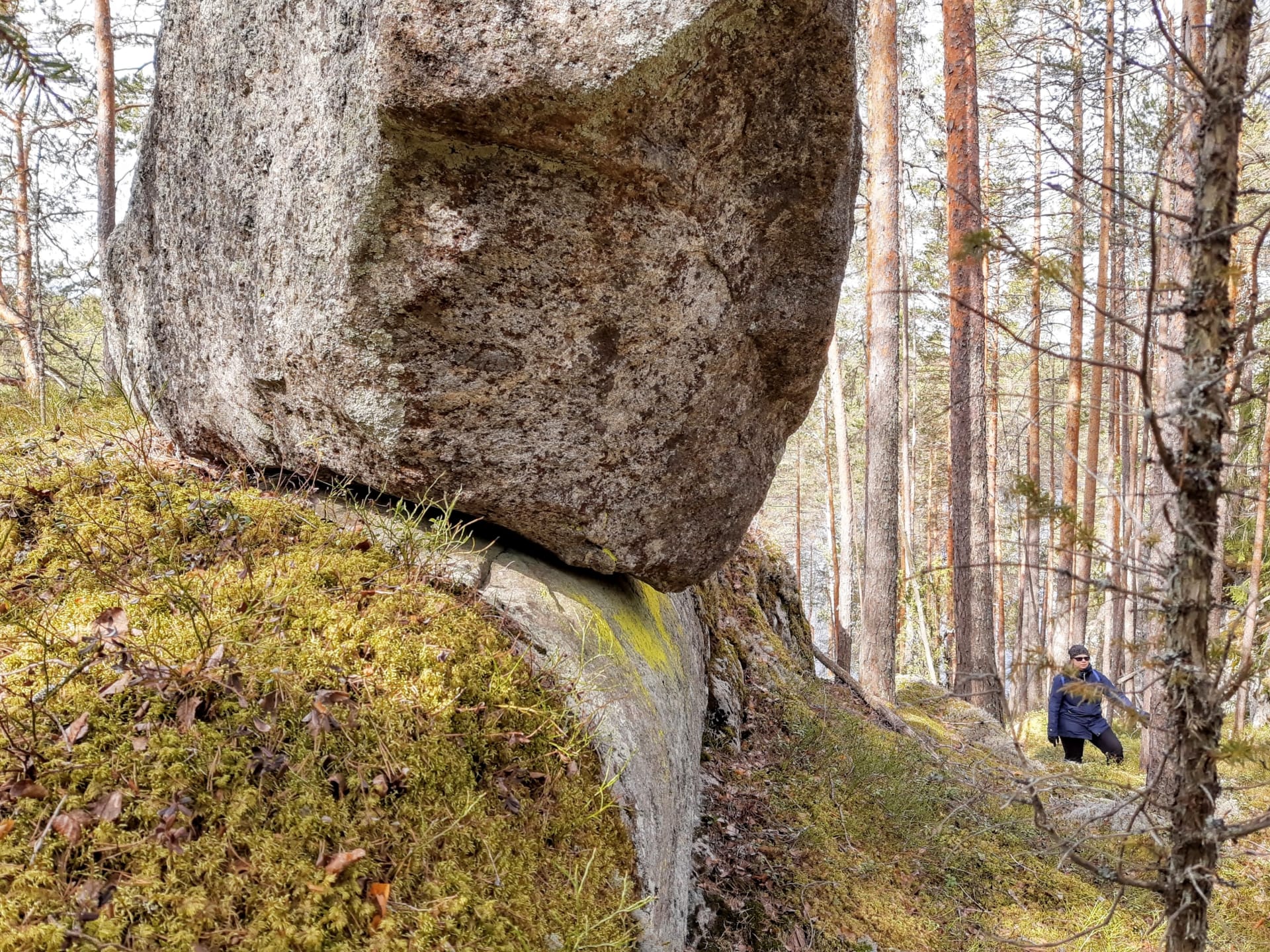
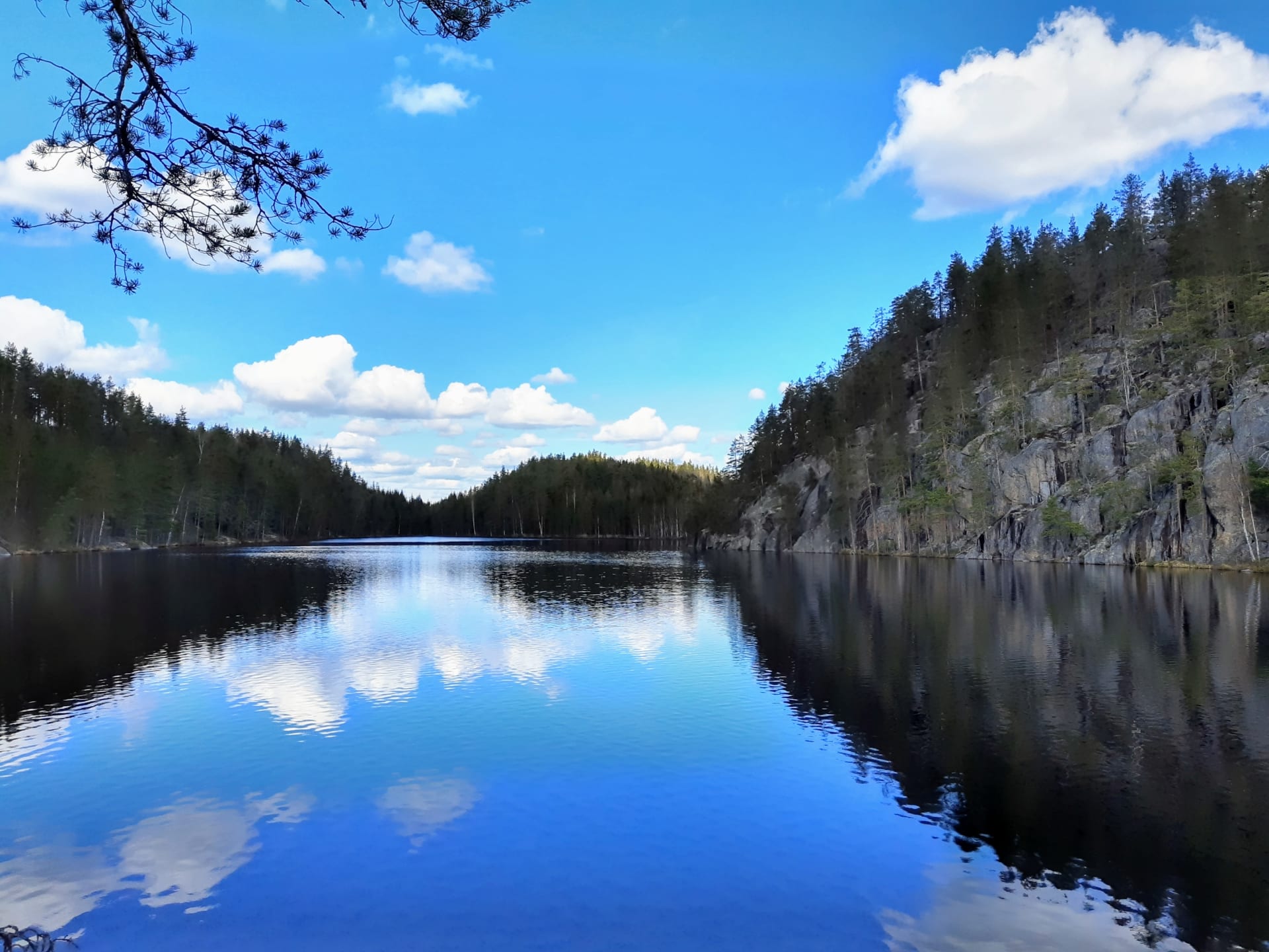
The most striking feature of the Lake Sarkaslampi area is its exceptionally rugged and spectacular rocky landscape. The cliffs of the Lake Sarkaslampi, a nationally important small water body, open up into the surrounding area as massive, open rocky walls, emphasising the rugged, desert atmosphere of the rocky landscape. The narrow hollow formed by the cliffs on the eastern shore of Lake Ristilampi has a gorge-like atmosphere, with the cliffs rising up to a height of twenty metres on either side of the trail. In the gorge between the cliffs, the hiker encounters a small fern meadow with streams and evergreens, while at the southern end of the Lake Sarkaslampi, a mossy meadow opens up.
Juvan kunta
Viisalanmäentie 980
51890 Juva
+358400761944
matkailu@juva.fi
Available
may, june, july, august, september, october